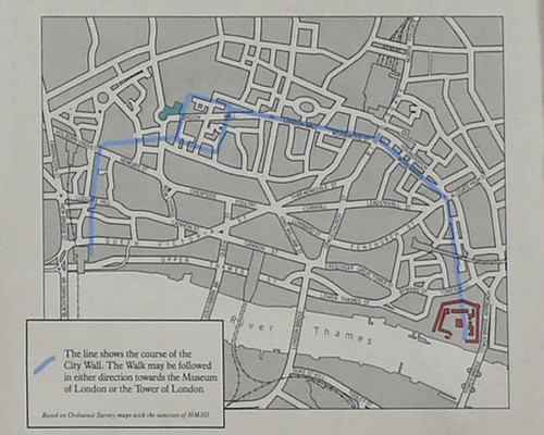
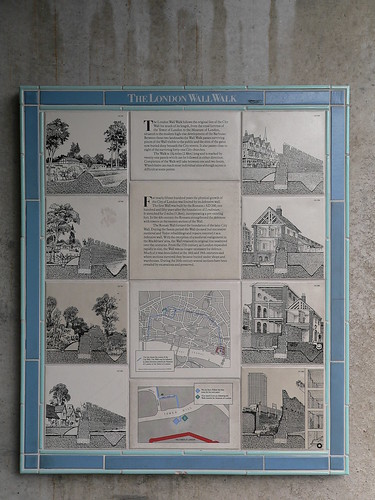
The Museum of London planned a Wall walk in the 1980's, but as the intention was to guide tourists to the museum itself, this only went from the Tower of London to the museum building - about half the length of the Wall (if you include the riverside section). This was marked with 21 numbered blue and white tile information panels - plus an introduction at each end of the walk; about half of which still exist. Some are in remarkably good condition, some have been replaced, others are just missing. The fate of some echo the recent history of london - for example panel 8 was destroyed by an IRA bomb.
So this post is a description of a walk around the entire route of the walls, with some Roman themed detours, and a few of my pictures. We start and end at The Tower of London - allow at least 2 and a half hours without the detours.
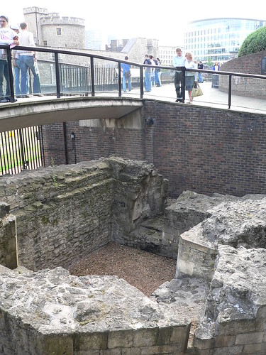
1. From Tower Hill tube, take the steps down under the underpass. The interesting remains here are not Roman, but are of a medieval pedestrian gateway through the Wall - a postern. The information panel is on the wall, but this is not Panel 1, that is no longer here - I suspect the modern steel panels on the handrail around the excavations have replaced the original tile one.
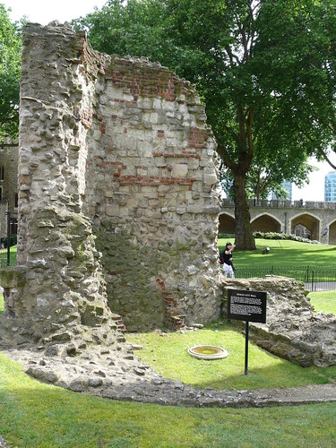
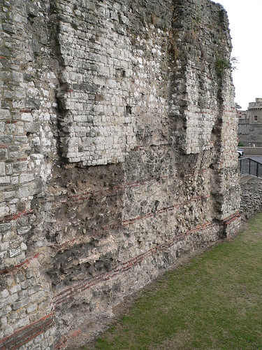
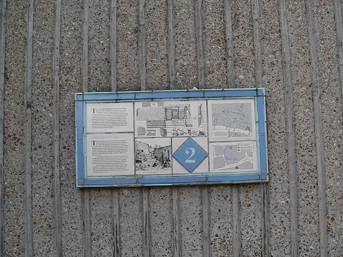
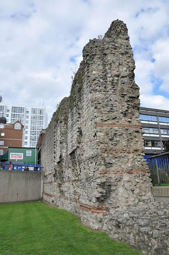
2. Go back though the underpass, turn right halfway up the steps. The wall remains here are some of the largest remaining, and the Roman section can be seen - obvious because of the red tile sections. Panel 2 is on the modern wall to the left. The statue here is said to be of the emperor Trajan.
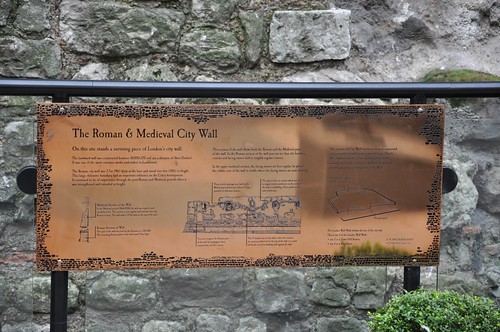
3. Go back to the tube station, turn left and follow the road. Look at the brass plaque on the hotel front, which has some interesting information about the Wall.

3a. Go through the hotel driveway to the large section of visible wall. This is the original location of Panel 3, which has been replaced by this Brass one. Follow the walkway here that goes through a hole in the wall, then through the courtyard to the road beyond. Turn left, under the railway arch and walk through America Square.
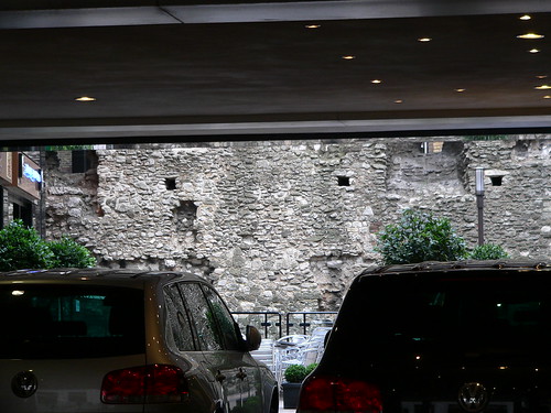
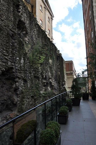
3b. Number One America Square now has a conference centre in its basement, which has a large section of preserved wall running right through it as a feature. I haven't been in personally, but their website shows some nice views of the wall remains. At the other side of this building, look over the low wall, where a portion of wall in the basement is visible through glass panels. You can use the parish boundary marker on the building opposite as a rough guide to where the wall ran.

4. Return to Vine street, and continue north. The original wall walk map shows panel number 4 to be in the next courtyard on the left hand side of the road. Either the panel has gone, or the area its in is no longer open to the public. From here turn take the next left, then right towards Aldgate.
There is other evidence of the wall here, notice the building names such as Roman Wall House.
5. At the large intersection that is now Aldgate, you will find panel 5 on the low wall to the Sir John Cass' school playground.
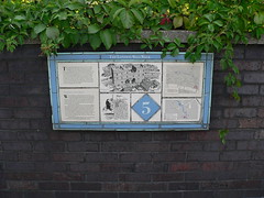
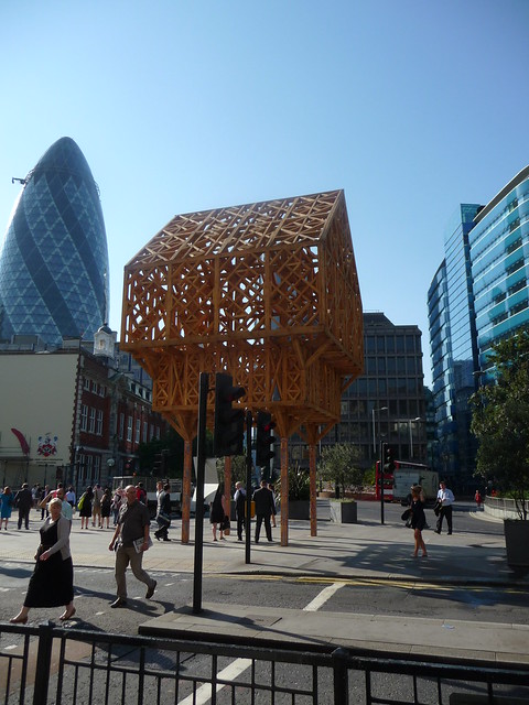
5a. I'm not sure how long this will be here, but just at the moment there is an artwork here, that is apparently a representation of the rooms over the Gateway of the Aldgate.
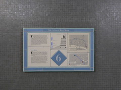
6. Go down into the subway entrance to the right. There are some interesting tiled information planels in the subway, including Panel number 6. Where the subway excavations crossed the line of the wall are now some large tile cutaways of the wall - but at the time of writing, this subway is closed to the public, which is a shame, as I found plaque 6 to be particularly well preserved. Head back up to ground level, and follow Duke's Place and then Bevis Marks towards the City.
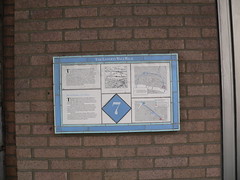
7. Bevis Marks would have been the route of the road inside the city walls, with the parallel Houndsditch literally being the ditch outside the city walls. You will find Panel 7 halfway along Bevis Marks, on the left hand side, under a collonade, right next to the entrance of the London Synagogue.
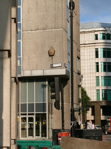
8. Follow Bevis Marks until it becomes Camomile Street and then emerges onto the large junction with Bishopsgate and Wormwood Street. Plaque 8 was at this junction but was destroyed by an IRA Bomb in 1993. The actual site of the Bishops Gate here was marked on both sides of the street by stone bishops mitres set into the walls of the buildings. The one in the picture below has now gone - as this building has been replaced by the Heron Tower. I'll be interested to see if this new building gets any sign once its complete. (At the time of writing, the one facing it is still there).

9. Turn right into Bishopsgate, and then immediatly left into the path though the churchyard. The backs of the buildings on the left are all quite modern, but still follow the line of the wall. Panel 9 was here somewhere, but I've not yet been able to find any trace of it. In most places where Panels are missing, there is usually still a bracket or post. In places like this, where there is nothing I can't be sure I'm looking in exactly the right place...

10. At the end of the path, turn left and then right onto the road called London Wall. After a short distance you will come to All Hallows on the Wall, whose north edge is built exactly on the london wall. There is a chapel here that follows the line of an original roman tower on the wall - just visible in the second picture below. I have yet to see this for myself, as I have never seen the church open. The wall is prominent here in the churchyard, but Panel 10 has gone. I suspect that the 2 iron poles with the angled tops visible in the first picture originally held it.
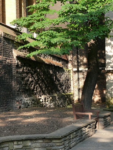
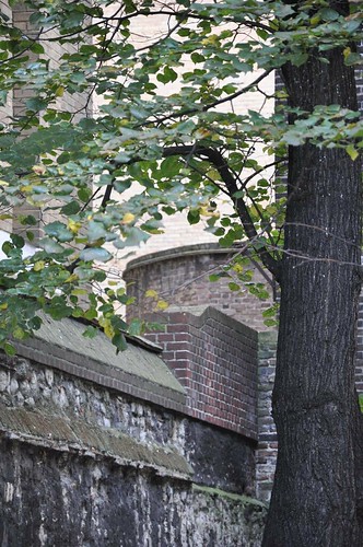
10a Walk along London Wall towards Moorgate. After you've passed the entrance to Finsbury Circus, note that the area to the right was the site of the second St Mary of Bethlehem Hospital or Bedlam, as it became know. The institution was not here for very long (only 150 years), as the building suffered from subsidence - hardly surprising as it was built on the ditch outside the city wall.
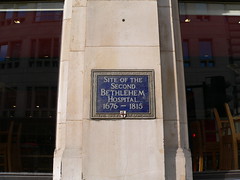
11. Panel 11 can be found on the north east corner of London Wall and Moorgate. The Moor Gate itself was not an original Roman gate in the wall - they had no need of one here as the land outside the wall was marsh. In Medeival times the marsh was drained (and filled with bones from St Peters charnel house) and this gate was added.

11a. Stay on the north side of London wall here, and get up onto the Barbican highwalks. London Wall the road here diverges from the line of the wall itself. the remains of St Alphages church can be seen here, but note that the remianing part of the church is some distance from the wall.
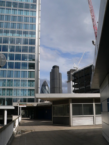
12. There are large sections of wall visible in St Alphages gardens, and this is now the north wall of the Roman fort that was constructed before the walls. There are three seperate gardens here - on the North side the Salters Hall have very smart gardens.
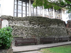
12a. On the South side is a long and narrow public garden with this old Plaque on the wall.
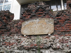
12b. At the Western end of this is another public garden, much like the Salters one, and here, between two planters is the remains of two stumps, which I assume are the original location for Panel 12.
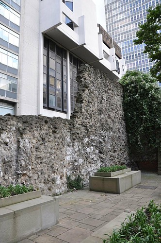
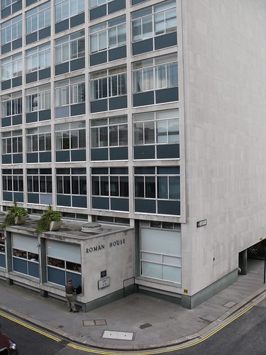
13. Panel 13 is just a little to the west of the gardens on the side of Roman House, and marks the location of the Cripple Gate.
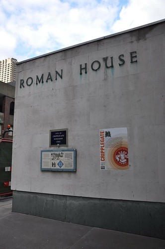
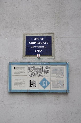
14. From here, walk into the Barbican compex at ground level, around St Giles Cripplegate church. There are many remains of the wall here, including the bases of some of the towers. Panel 14 is on the handrail in the churchyard.
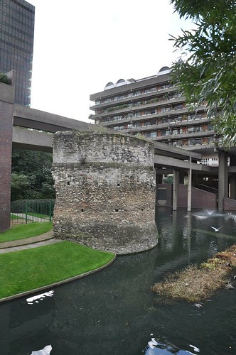
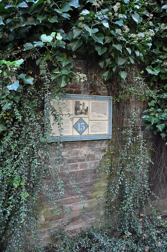
15. Finding Panel 15 takes a little effort. Retrace your steps to the site of Cripplegate, then continue along Wood Street to junction of London Wall. Turn right and follow London Wall until you reach the entrance to the underground car park. Go into the Museum gardens here and follow the line of the wall as far as you can into the Barbican. Panel 15 is on your right.

16. Retrace your steps again along the route of remains. The Barber Surgeons (whose modern hall is here) used to have their hall right against the wall - and even used one of the towers as a court. This Tower has now been turned into a small herb garden - and as far as I can work out, this was the location of panel 16.
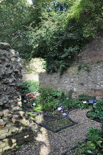
Its interesting to note that the shape of the new hall echos the Wall tower.
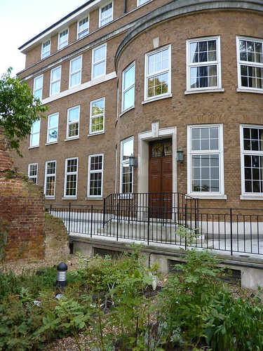
17. Panel 17 is also missing, but would originally have been on the other side of the remains in the picture below. The white building in the picture is the Museum of London, and a window looks down on the wall remains from the Roman Gallery.
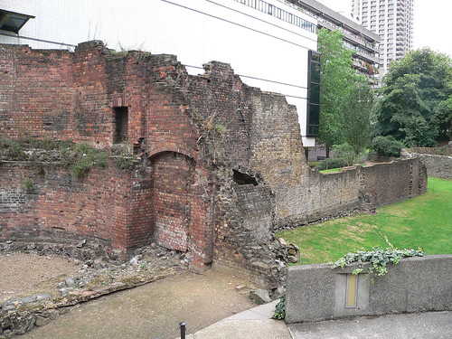
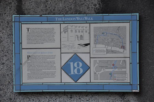
18. Panel 18 survives at the bottom of the ramp next to the entrance to the car park.
18a. There are remains of a gate under the road behind a door marked private that can be seen on tours run by the museum. Look out on the meseum website for Tours of the Roman Fort. I got on one in August and found it very interesting.
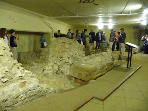
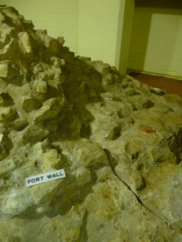
18a Detour. This is the best place to detour into the Museum of London. There are lots of great Roman (and other) stuff in here.
19. Opposite the museum take Nobel Street next to the large wall remains visible here. Panel 19 has been replaced by a glass panel.
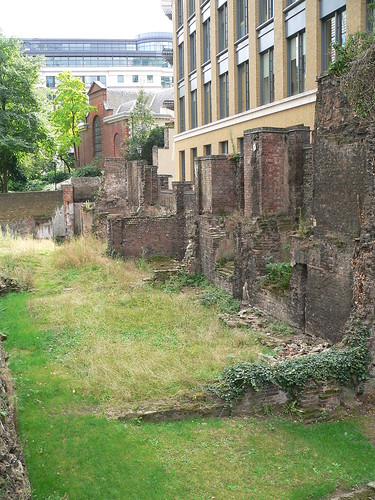
20. At the other end of the wall remains, panel 20 has also been replaced with a glass panel.

20a Detour. Since you are now almost on the junction of Gresham Street, this would be a good place to walk east along Gresham Street to the Guildhall. Whilst this is a very interesting Medieval building in its own right, it may not seem obvious why this is relevant to a walk along Roman remains - but the large oblong marked out in the pavement here shows the extent of the London's Roman Amphitheatre. Its remains can be seen deep below the Guildhall Library and Gallery, and this is well worth a visit.
21. Head back to London Wall junction with Aldersgate. Panel 21 is now sited on a fairly modern building on this junction. This is not its original position.

21a. The site of Aldersgate is also marked by a City of London Blue Plaque just beyond the wall walk panel.
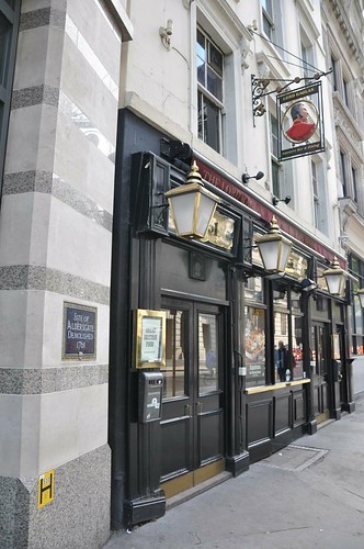
22. Cross the road here, following Aldersgate Street, turn right at the end and head to Newgate street. Wall remains are visible in the basement of one of the Merrill Lynch buildings here roughly behind the Cafe Nero, and can be viewed by appointment with security. I had a meeting here and saw the nicely preserved remains of a tower but unfortunatly I didn't have a camera with me.

23. Follow Newgate street to the junction of Old Bailey - this is the original site of the New Gate which was used as a jail before giving its name to the much larger prison that replaced it. The Central Criminal Court now stands here - and has some wall remains in its basements, but these are not open to the public.
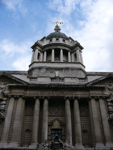

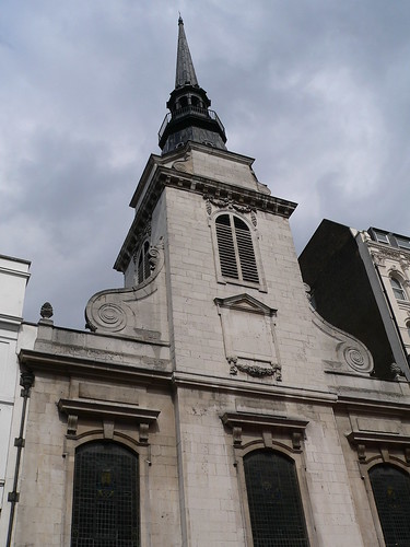
24. Follow Old Bailey to the junction of Ludgate hill, turn left. The site of the Ludgate is marked on the side of St Martin within Ludgate.

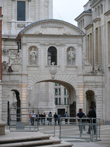
24a. Detour. Follow Ludgate hill up to St Paul's Cathedral. on the left, now forming the gateway into Paternoster Square you will find the Temple Bar. This was designed by Wren after the great fire to be the gateway into the City of London from Westminster. By now the city was much larger, and this gateway was situated between Fleet Street and the Aldwych. Its original position is now marked by a large Dragon on a pillar. This gateway was bought by a Brewer and was moved to be the Gateway to his country mansion, but was returned to the City just a few years ago.
25. The Roman wall went from Ludgate directly south until it met the river, but its course was changed to run west until it met the river Fleet and then south along the Fleet until it met the Thames, to enclose the priory that this area 'Blackfriars' is still named after. Follow Pilgrim Street opposite St Martins. This follows the line of the Medieval wall, and the position of the wall is marked in the pavement at the back of the modern City Thameslink Station.
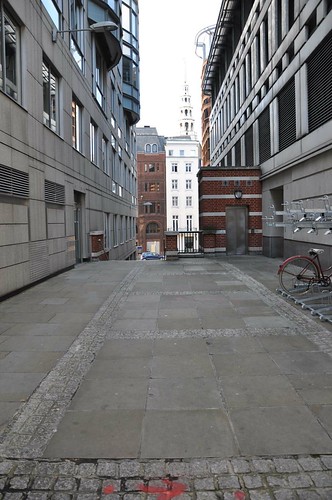
25a. The line of New Bridge Street marks the position of the Fleet River (which runs below the street in a victorian sewer) and also marks the line of the wall. Follow new Bridge Street to the Thames.
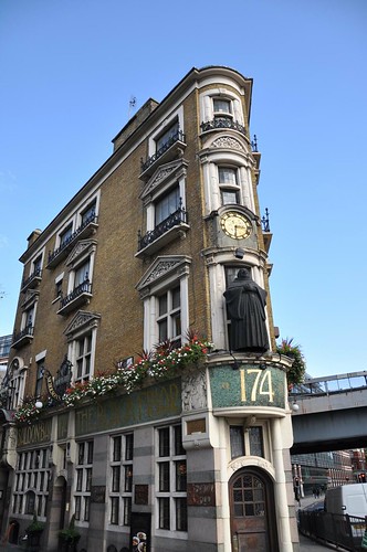
26. Walk along the riverside as far as the Cannon Street railway bridge, then turn up Cousin Lane. The Roman wall here was a short distance inland, with wharves along the riverside. The railway bridge markes the approximate position of the Dowgate - this road is still called Dowgate hill.

27. Walk along Lower Thames Street. This road marks the approximate position of the wall. Just beyond the current London Bridge you'll find St Magnus the Martyr church. The walkway through the tower was once the entranceway onto the pedestrian part of Old London Bridge. If the church is open, its worth a look, and contains a huge model of old london bridge.
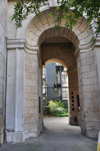
28. Continue along Lower Thames street to Old Billingsgate Market, which commemorates the last gateway into the city of London, and the centre of the frontage of the old building even retains the look of a gateway.
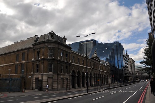
28a Opposite the old Billingsgate market building is a unassuming 1960's office building at 101 Lower Thames street. It's not currently open to the public except on special occasions, but in the basement are the remains of Roman bath house and villa.
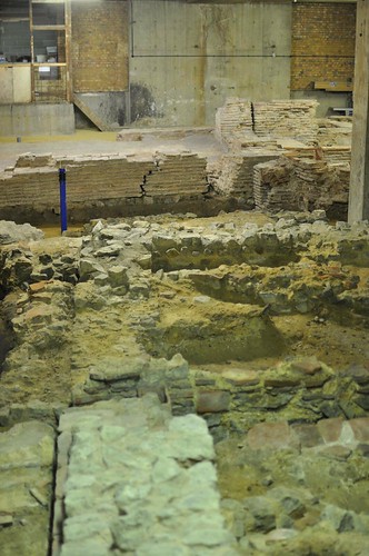
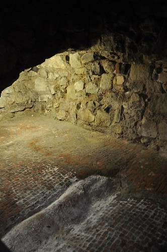
28b Another Detour. As you walk the last short distance from Billingsgate to the Tower, stop as All Hallows by the Tower church. It claims to be the oldest church in London, and has a Saxon Arch. Take a look at the free exhibition in the crypt, as here you can see some original Roman Pavement.
29. Return to the Tower of London. Although its quite expensive to visit the Tower, inside there are a number of large parts of the Roman wall still visible. And, of course, the Tower is well worth a visit in its own right.
